The Mid-Ohio Valley has experienced its fair share of rain and flooding over the past 30 days. As the rivers elevated, so did concerns and anxieties. The gage reported a flood crest of 37.9 feet on February 18, 2018. Residents with river and flood experience questioned that the reported flood level of 37.9 was inconsistent with past floods and the water elevation was higher by more than 2 feet. With additional (higher) flooding predicted for the next weekend, February 24, 2018, officials recognized the need to address the concern head on.
Pickering Associates Survey Department and the City of Marietta received calls from residents and clients asking questions and voicing their concerns about the discrepancy between the gage height and actual water elevation.
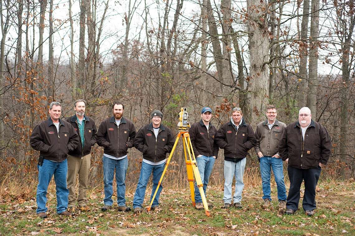
The City of Marietta enlisted the help and expertise of Pickering Associates Surveying Department to take measurements on the actual water elevation at the Marietta Pumphouse located at the confluence of the Muskingum and Ohio Rivers on the west side. On Friday February 23, 2018 Bill Showalter, Tom Woomer and John Cline met with city officials at the Pumphouse to perform the work. It was determined that the gage was in fact reading 2.5 feet lower than the actual water elevation.
Joe Tucker, City of Marietta engineer, informed United States Geological Survey (USGS) that the gage was malfunctioning. USGS immediately dispatched a crew from their Charleston, WV office to repair/replace the gage. The same day, the USGS verified that the gage was malfunctioning and placed a temporary gage. The temporary gage remains in use and will be replaced when weather conditions allow. The USGS routinely checks river gages ever 8 weeks.
Thankfully, the predicted flood for the weekend of 2/24 did not happen. The water crested at 32.6 feet on Friday 2/23 and 32.5 feet on Monday 2/26. Pickering Associates and the City of Marietta will continue to monitor and ensure the validity and accuracy of the gage.