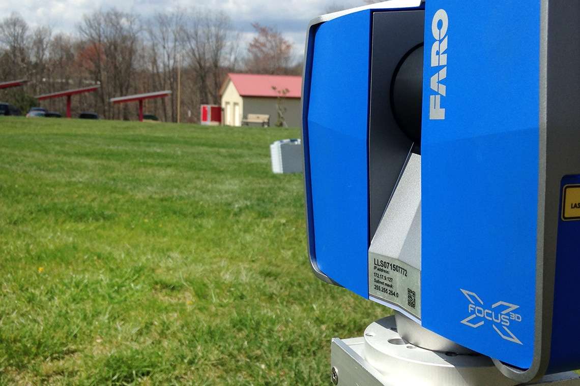
For the past few months, Pickering Associates has been exploring new territory in the word of Surveying. We are now implementing tools such as the 3D scanner and Drone coverage to help take readings and measurements in the field. Once readings are taken, they are implemented into the point cloud sharing system and used throughout the company. By utilizing these new technologies, we can save time and energy in the field by replacing one full day of hand measurements with just a few hours of scanning.
“We are discovering the accuracy of the technology, and the more we work with it the more comfortable we are using it to take readings” commented Bill Showalter, Surveying Department Manager.
Not only does the system allow for less time in the field, but it also reduces data entry and analysis in the office as well. Although using Drones and 3D scanning is not a new notion in the world of surveying, it is however, a new development in the Mid-Ohio Valley. Pickering is the first company in the area to offer such services to their clients. Another great benefit of this technology is the safety factor it provides, “before we would sometimes have to go more than once on site, now the data is at our finger tips and we just fly the drone instead of climbing high heights for readings,” commented Jeff Mehl, a surveying crew chief at Pickering. This new technology has proven to be a useful tool in the field, and Pickering is excited to see where the technology will take them in the future.